|
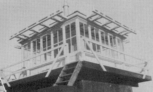
Mount
Garfield Tower in 1940
(Photo
courtesy Iris Baird)
| |
Town: Franconia
County: Grafton
Mountain or Hill: Mount Garfield
Height
above sea level: 4488 FT
Tower Structure Height: 5'
Latitude:
44-11-15
Longitude: 71-36-67
First date of operation: 1940
Operating Agency: Wite Mtn. Nat. Forest
Type: Masonary Groundhouse 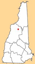
|